Browse park:
By state
Alabama
Alaska
Arizona
Arkansas
California
Colorado
Connecticut
Delaware
Florida
Georgia
Hawaii
Idaho
Illinois
Indiana
Iowa
Kansas
Kentucky
Louisiana
Maine
Maryland
Massachusetts
Michigan
Minnesota
Mississippi
Missouri
Montana
Nebraska
Nevada
New Hampshire
New Jersey
New Mexico
New York
North Carolina
North Dakota
Ohio
Oklahoma
Oregon
Pennsylvania
Rhode Island
South Carolina
South Dakota
Tennessee
Texas
Utah
Vermont
Virginia
Washington
West Virginia
Wisconsin
Wyoming
Search:
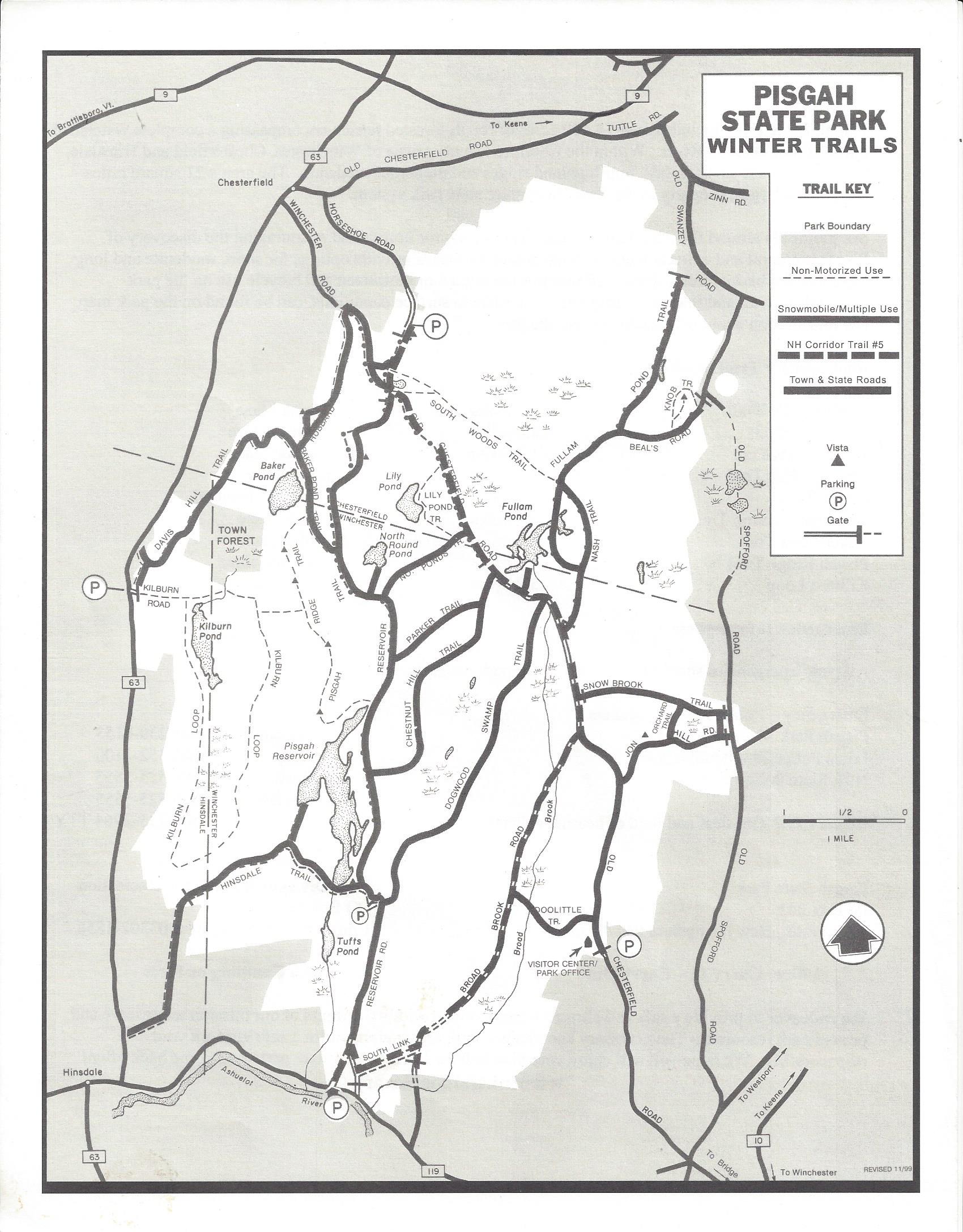
Pisgah State Park
Maps
Winchester,
NH
Home
NH
Pisgah State Park
Download files (2):
View: All Files
All Files
Park Maps
Trail Map
Previous park
Next park
Nearby
Parks
State Parks near Pisgah State Park
Chesterfield Gorge Natural Area
NH
6.01 miles away
Rhododendron State Park
NH
11.50 miles away
Monadnock State Park
NH
15.72 miles away
Annett Wayside Park
NH
21.97 miles away
Miller State Park
NH
26.48 miles away
Greenfield State Park
NH
27.87 miles away
