Browse park:
By state
Alabama
Alaska
Arizona
Arkansas
California
Colorado
Connecticut
Delaware
Florida
Georgia
Hawaii
Idaho
Illinois
Indiana
Iowa
Kansas
Kentucky
Louisiana
Maine
Maryland
Massachusetts
Michigan
Minnesota
Mississippi
Missouri
Montana
Nebraska
Nevada
New Hampshire
New Jersey
New Mexico
New York
North Carolina
North Dakota
Ohio
Oklahoma
Oregon
Pennsylvania
Rhode Island
South Carolina
South Dakota
Tennessee
Texas
Utah
Vermont
Virginia
Washington
West Virginia
Wisconsin
Wyoming
Search:
Lake Fausse Pointe State Park
Maps
St Martinville,
LA
Home
LA
Lake Fausse Pointe State Park
Download files (2):
View: All Files
All Files
Park Maps
Park Map
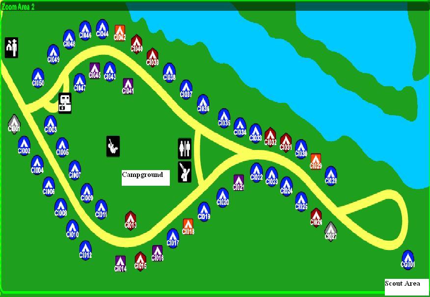
Campground Map
Previous park
Next park
Nearby
Parks
State Parks near Lake Fausse Pointe State Park
Longfellow-Evangeline State Historic Site
LA
13.86 miles away
Fort Pike State Historic Site
LA
26.70 miles away
Cypremort Point State Park
LA
26.83 miles away
Plaquemine Lock State Historic Site
LA
27.47 miles away
Palmetto Island State Park
LA
35.08 miles away
Port Hudson State Historic Site
LA
48.07 miles away
